Hi all, My name is Daniel and I am the Mega Scout intern, this is my first time with Missouri River Relief and also my first time on the Missouri River! It has been an amazing adventure thus far and I am looking forward to meeting everyone.
Tuesday, July 18, 2006
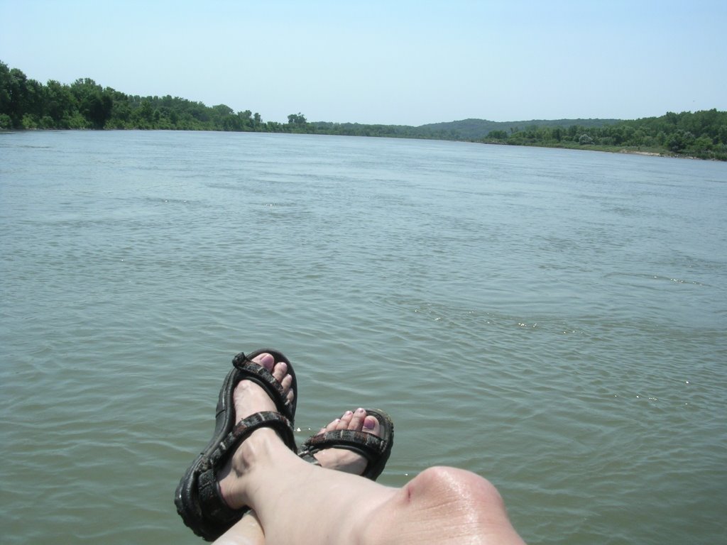
We had a great day on the Big Muddy, mapping 40 miles from Decatur, NE to Blair (River Mile 691-651). The sun was warm and the water cool. Vicki launched a message in a bottle at 10am and found it around 2pm about 10 miles down the river. This stretch of the river was fairly clean however the nice bluffs and cottonwood trees slowly faded into corn fields planted all the way to the edge of the river. We stopped and swam on some really good beaches throughout the day.
We have our surveying system worked out and we are meeting lots of new people along the way. We pasted our 100th mile yesterday as well. All the data we have collected is being entered into our computer database and is looking great. The picture below shows just a sample of the work we are doing.
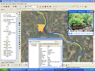
Every river mile on both the left and right side of the river have been rated for trash on a 0-5 scale. Zero being no or little trash, and five being large dumps. So far we have found only small scattered trash. Every point (trash, ramp, point of interest) we marked along the river is linked with a photo caption and description for easy access.
 Around the 672 mile marker we met up with Captin Hal of the "Slim Funk". Hal and his team are from the USGS River Studies in Columbia, MO. They are working on velocity measurements of wing dikes and fish studies. Hal, Rob, Chad, and Sarah joined the River Relief on a sandbar for dinner and revelry. They are a great bunch, after smores and foshi launching we headed to bed under a beautiful blanket of stars.
posted by Missouri River Relief @ 11:31 AM
0 comments
![]()
![]()


0 Comments:
Post a Comment
<< Home